
Tags
California, Death Valley, Desert Gold, Emigrant Canyon, Furnace Creek, Kit Fox Hills, Titus Canyon
This final posting on our wonderful visit to the remarkable Death Valley is a collection of Ed’s photographs mostly from our last day there. We had a terrific time and will get back someday hopefully with a jeep, stronger legs and reopened roads! If at all possible, please put Death Valley National Park on your Must Visit List. Oh and if you do, I suggest An Introduction to the Geology of Death Valley by Michael Collier as a very informative read. You can pick it up at the visitor center in Furnace Creek.
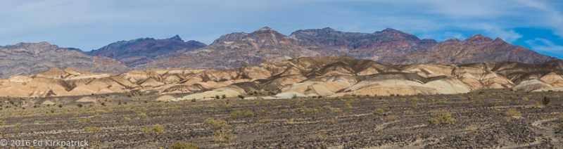
Just off the road to Scotty’s Castle are the Kit Fox Hills in the Grapevine Mountains.

Desert Gold, you cannot help but smile when you see these flowers and since we were there, there has been a massive bloom of them.

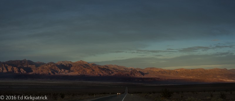
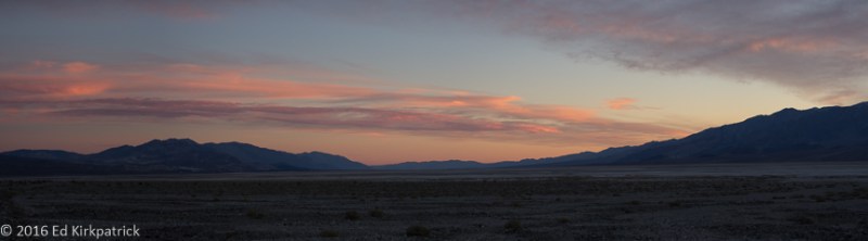
Evening along Badwater Road.
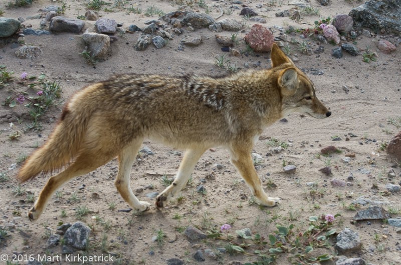
This guy and his buddy were entirely too friendly and healthy for wild animals. The tourists must be feeding them.
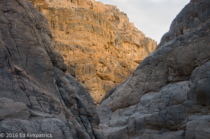
Titus Canyon meanders through some very ancient rock formations. Here, the sunlight reflects off the mountains beautifully lighting this face.
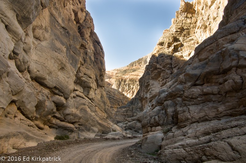
Titus Canyon in the Grapevine Mountains. Although the mountain range was geologically speaking uplifted quite recently most of the rocks that make up the range are over half a billion years old. This road runs 24 miles one-way from Rhyolite, Nevada to the exit in Death Valley, California. From there we hiked back up the road about two miles.

A formation of Megabreccia or the Jigsaw as it is known locally.

Travertine (Ed is pretty sure but invites comment from someone who knows better). There was lots of it in Titus Canyon.
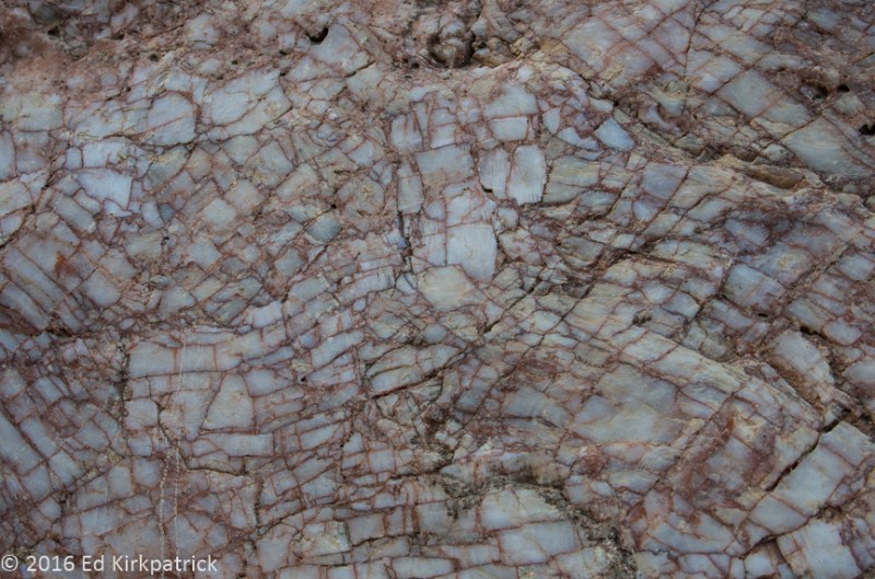
In Titus Canyon, fractured quartz with a reddish/pink mineral (feldspar?) intrusion that gives it this pattern. This piece is about the size of a soccer ball.

Mysterious pot-holes in the floor of Panamint Valley.


Desert Sand Verbena, L Brown-eyed Evening Primrose, R

A spreading bloom of Desert Gold paints the alluvial fan of the Black Mountains near Ashford Mill.
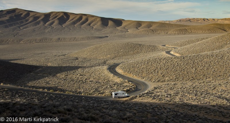
Marti climbed up to an abandoned mine to see what she could see and took this photo looking back at our rig on Emigrant Canyon Road in the Panamint Mountain Range.

Here’s the mine. She really wanted to go in but promised she wouldn’t.
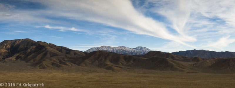
Looking south across the Panamint mountains to Telescope Peak, 11,049 feet.

At the top of Emigrant Canyon in the pass elevation 5318 feet.
HWY 190 looking east back down eight miles to Stovepipe Wells from Emigrant Canyon Road.
On our way back to our campsite at Furnace Creek and it’s almost cocktail time…
